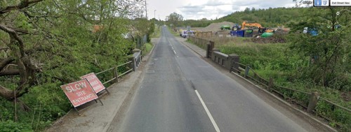
Horizon 29, Buttermilk Lane, Bolsover, Derbyshire, East Midlands – Industrial Warehouse
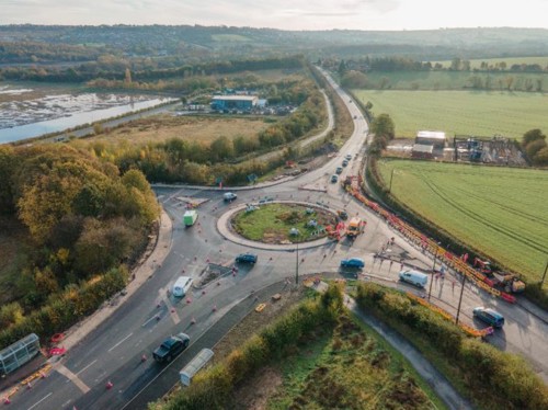
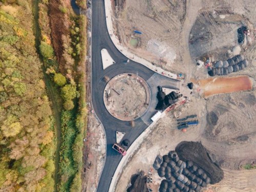
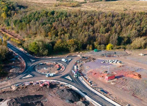
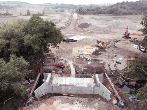
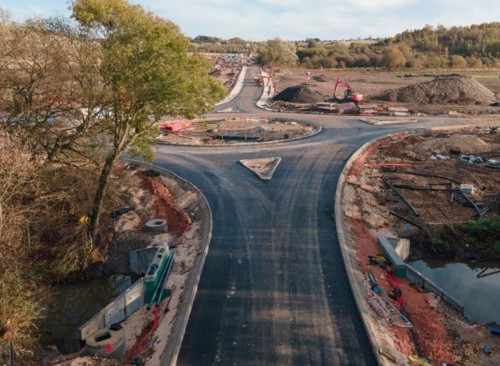
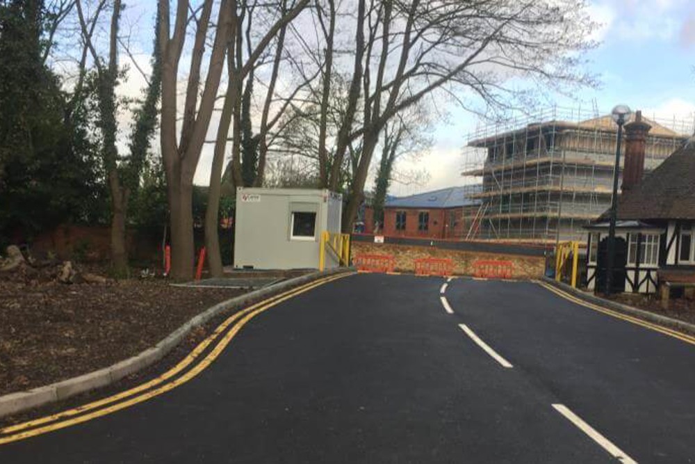
We were appointed by St Francis Group, who are experts in Brownfield regeneration projects, to deliver the detailed design for extensive Section 278 highway works required to facilitate access to the development.
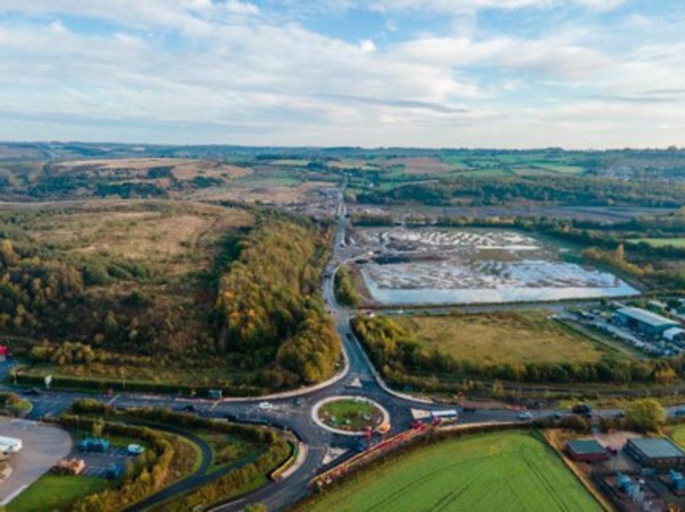
In a joint venture between St Francis Group and iSec, the 120-acre site, once owned by Coalite was reclaimed based on a multi-unit industrial warehouse scheme offering more than 1.4m sq. ft across 7 buildings.
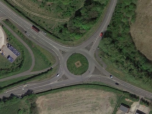
Located off junction 29a of the M1 and adjoining the successful Markham Vale development, planning consent was secured across all phases, requiring substantial highway works valuing upwards of £7,000,000.
Infrastructure Design
Environmental Assessment
Details